Hiking week FFI Solothurn in the Region Solothurn - Jura
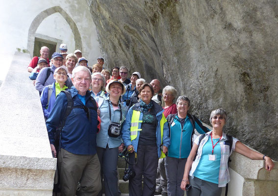


1. Einsiedelei Megalith Castle
2. Landshut - Emme - Aare - Sporthotel Zuchwil
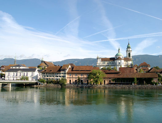
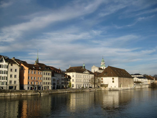
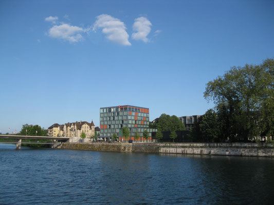
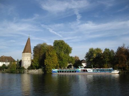
3. Solothurn Guidedtour Wanderung Solothurn Altreu
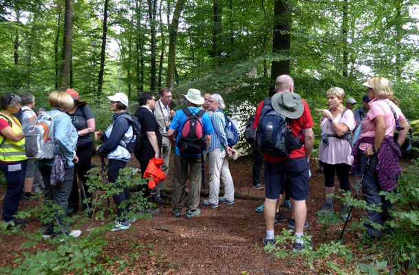
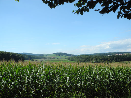
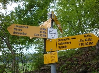
4. Wanderung Nesselboden - Röti - Weissenstein
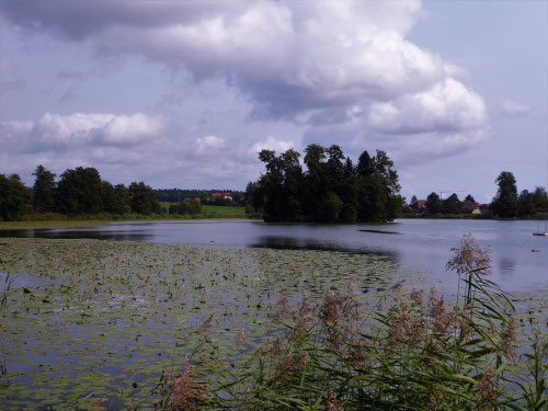
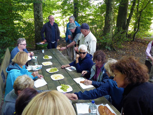
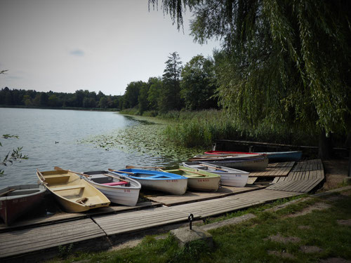
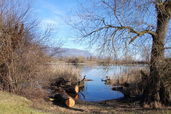
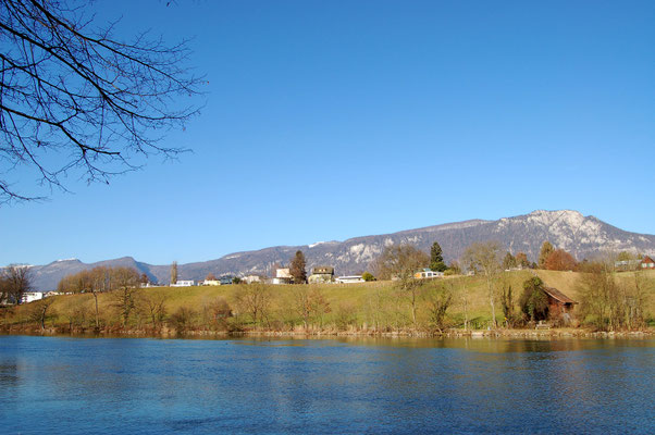
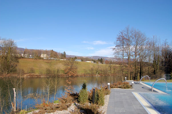
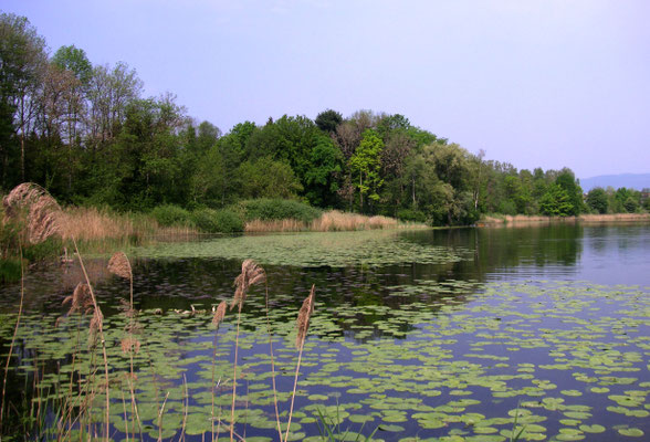
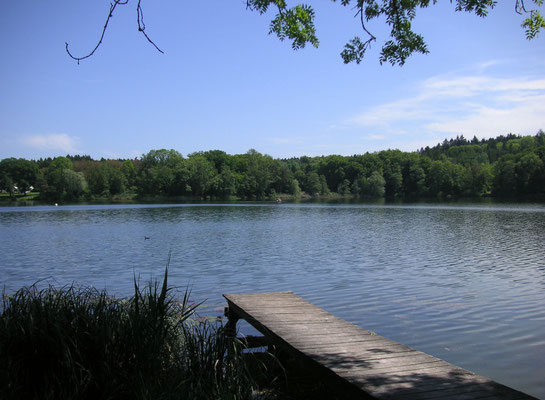
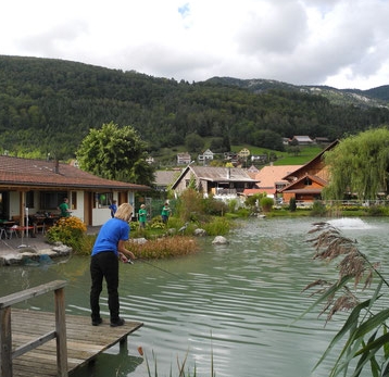
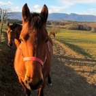
5. Wanderung Lakes Inkwil + Burgäschi


hiking around Solothurn with visitors from an international exchange. About the region https://en.wikipedia.org/wiki/Solothurn - pro-wasseramt.ch

Programm starts in September 2017 - more soon

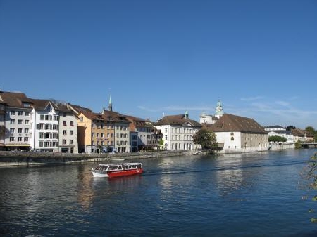

Solothurn is a town, a municipality, and the capital of the canton of Solothurn in Switzerland. It is located in the north-west of Switzerland on the banks of the Aare and on the foot of the Weissenstein Jura mountains.
The town is the only municipality of the district of the same name.
The oldest finds from Solothurn probably date from the Paleolithic era. The remains of a Mesolithic camp were discovered in 1986 during renovations of the former Kino Elite building. From the Neolithic, Bronze and Iron Age, only a few scattered items have been discovered.
Solothurn is located in the north-west of Switzerland on the banks of the Aare and on the foot of the Weissenstein Jura mountains.
The municipalities of Biberist, Derendingen, Luterbach, Bellach, Langendorf and Solothurn are considering a merger at a date in the future into the new municipality of with an, as of 2011, undetermined name.
Wir wandern in der Region Solothurn und Jura ab dem Sportzentrum Zuchwil.
Das Programm bekommen die HerferInnen per Mail. Wer mit helfen will, z.b. eine Wanderung begleiten, ein Nachtessen kochen für unsere Gäste, an der Party teilnehmen und den FFI-Club kennenlernen, meldet sich via info@userhelp.ch